Agia Marina Port
- Sunday, 10 May 2015 17:58
- Written by Revezas Agency
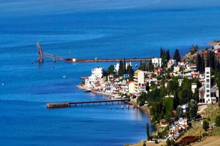
Aghia Marina is a private port facility (Bauxite Loading Terminal) belonging to ELMIN S.A. Loading operation is performed by Conveyor Belt - Fixed Arm.
Position
Additional Info
- Port latitude 38.889951
- Port longitude 22.580348
Achladi Port
- Saturday, 09 May 2015 12:07
- Written by Revezas Agency
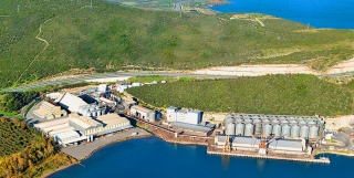
Achadi is a private port facility belonging to AGROINVEST S.A .
Agroinvest SA specialize import / export in Grain Storage, Animal Feed, Edible Oil, Soya Meal, Flour and Fish Meal.
Position
Additional Info
- Port latitude 38.888964
- Port longitude 22.824263
Stylida Port
- Friday, 27 March 2015 11:34
- Written by Revezas Agency
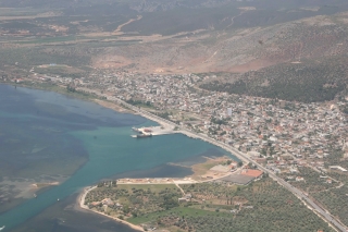
Stylida or Stylis Port is an ISPS public port which located on Maliakos Gulf, in Central Greece therefore facilitating the delivery of all kind cargoes everywhere in Greece with reduced transportation cost.
For entering in the port, the channel (0.5nm) is marked by pair of light buoys, in channel the maximum draft is 5.80mtrs in High Water.
The port managed by Fthiotis Port Fund (Limeniko Tameio Fthiotidas) and regulated by Stylist Port Authority.
Stylida Anchorage Area is ideal for Laid up Vessels or for Vessels that needs minor repairs or maintenance or getting provisions or for crew change. Stylida Anchorage Area provides a very safe and wide anchorage throughout the year.
Stylis port has three commercial berths with the following lengths
- 1st pier 100,0 mtrs
- 2nd pier 212,0 mtrs
- 3rd pier 90,0 mtrs
Position
Latitude: 38.90723
Longitude: 22.616655
UN/LOCODE: GRSYS
Additional Info
- Port latitude 38.90723
- Port longitude 22.616655